 WorldPing
 WorldPing
BBC Science
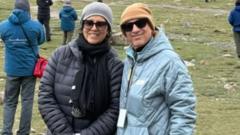
'Our parents were crossing the border an hour before the flood hit'
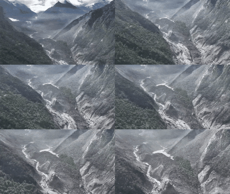
Authorities say more than 1,300 people are missing, including dozens of Americans and Canadians, as families await word on loved ones thought to be caught in the Nepal flash floods.
Brief by WorldPing · Original reporting by BBC Science